| dc.contributor | Senex, John (1678-1740) (közreadó) | |
| dc.coverage.spatial | [1:1 500 000] German Miles, 15 [=75 mm] | |
| dc.coverage.spatial | Magyarország | |
| dc.coverage.spatial | Délkelet-Európa | |
| dc.date | [1738-1740] | |
| dc.date.accessioned | 2016-05-13T00:51:31Z | |
| dc.date.available | 2016-05-13T00:51:31Z | |
| dc.identifier.uri | https://ds.oszk.hu/xmlui/handle/123456789/51452 | |
| dc.description | Megjelenési idő a Mehádia melletti csata évszáma (1738) és a kiadó életrajzi, halálozási adata alapján | |
| dc.format.extent | 1 térkl. | |
| dc.format.medium | rézmetszet, kézi szín. | |
| dc.format.medium | 64,2x98,5 cm | |
| dc.publisher | [J. Senex] | |
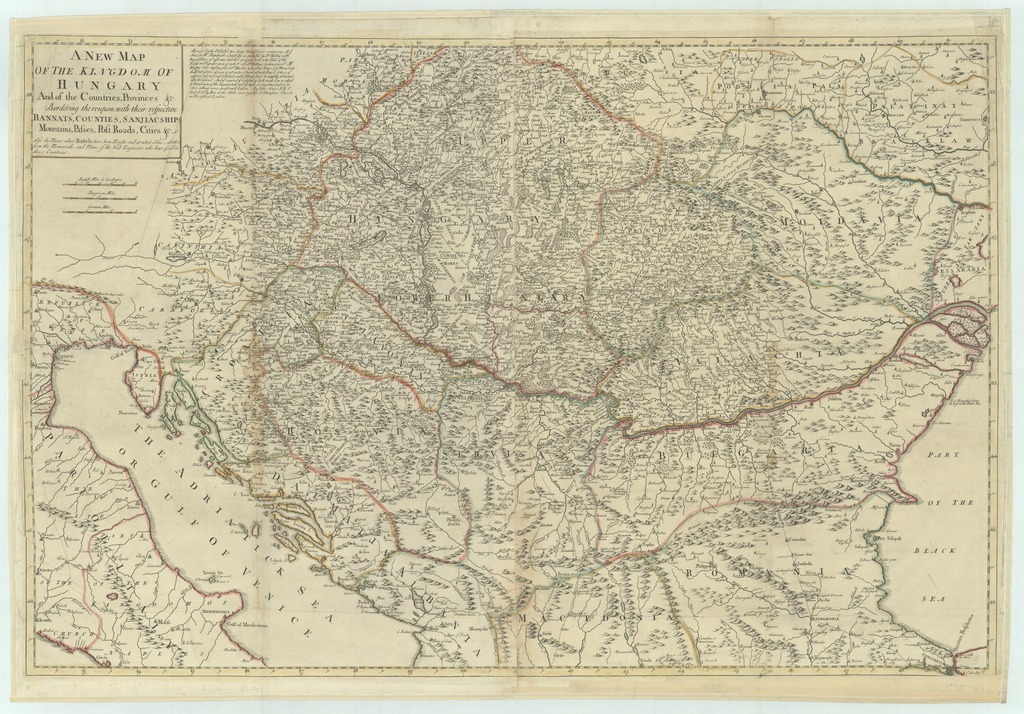
| dc.title | A NEW MAP OF THE KINGDOM OF HUNGARY And of the Countries, Provinces &c. Bordering thereupon, with their respective BANNATS, COUNTIES, SANJAICSHIPS, Mountains, Passes, Post Roads, Cities &c. as also the Places where Battels have been Fought and at what Time, - all taken from the Memorials and Plans of the best Enginiers who have serv'd in those Countries | |
| dc.title.alternative | Magyarország, Délkelet-Európa (általános térkép) (1738) | |
| dc.type | Cartographic | |
| dc.type | általános térkép | |
| dc.publication | [London] : [J. Senex], [1738-1740] | |
| dc.identifier.collection | OSZK-2718340 | |
| dc.identifier.location | TR 3 010 | |